Welcome to Southern California
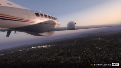
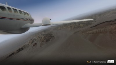
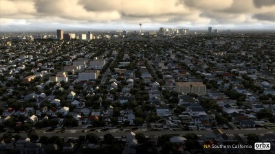
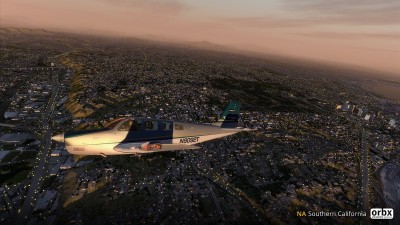
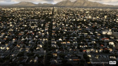
Orbx Southern California covers ~140,000 square miles (~365,000 sq km), from the boundary with Orbx Northern California south of Monterey to Tijuana in Mexico, and from the Channel Islands to Las Vegas in Nevada and Kingman in Arizona. Explore a wide variety of landscapes -- the scenic coastlines and offshore islands; the urban metropolises of Los Angeles, San Diego and Las Vegas; the mountains of the Sierra Nevada and the Transverse and Peninsular Ranges; the vast agricultural areas of the southern Interior Valley and Salton Sea; the salt flats, dunes, colorful rocks and military ranges of the Mojave and Colorado Deserts - all of which have been recreated with great detail and accuracy. Hand-placed custom landclass along with road and railroad networks, powerlines, wind and solar farms, observatories and major vertical obstructions are included for true-to-life VFR flying.
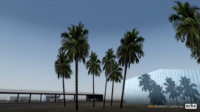
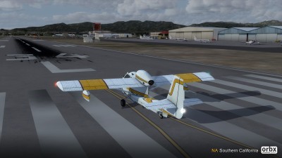
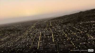
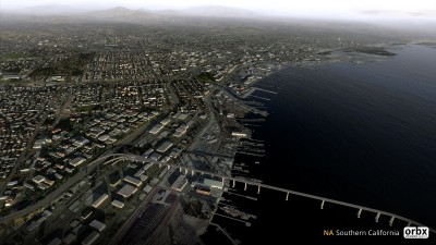
Many key points of interests, urban/industrial as well as natural, are featured with local photoreal coverage that are fully annotated with autogen buildings and vegetation. Downtown San Diego has been upgraded with 17 landmark buildings and custom models of other important structures throughout Orbx SCA include the Hoover Dam east of Las Vegas, half a dozen major bridges, many of the large wind and solar farms and thirteen lighthouses. Just like with our other Orbx regions, we've given each of the 312 listed airports a major upgrade, with more accurate placements of runways and taxiways as well as buildings, hangars, static aircraft, moving people (and creatures) and lots of "clutter". We also added 53 unlisted airstrips that don't exist in FSX/P3D by default. Last but not least, all ground textures are hand-annotated with our custom autogen objects including the spectacular and frame-rate friendly Orbx Global-style night lighting.
Prepar3D v5 Note: This product requires updates to be fully compatible with the new simulator. For more information, please see the P3Dv5 Known Issues topic on our forum.